
An aerial drone photo taken on March 31, 2025 shows the city view after a 7.9-magnitude earthquake in Mandalay, Myanmar. [Photo/Xinhua]

An aerial drone photo taken on March 31, 2025 shows the city view after a 7.9-magnitude earthquake in Mandalay, Myanmar. [Photo/Xinhua]
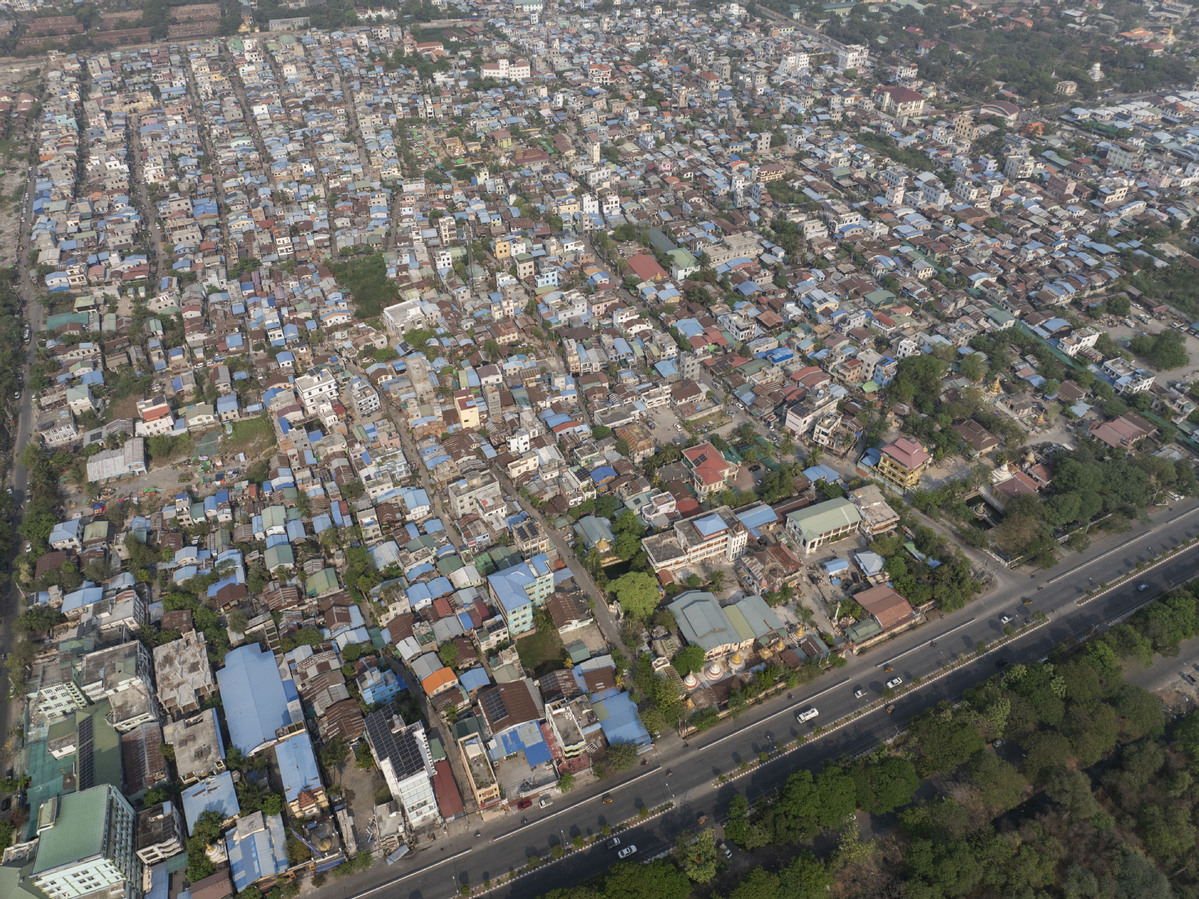
An aerial drone photo taken on March 31, 2025 shows the city view after a 7.9-magnitude earthquake in Mandalay, Myanmar. [Photo/Xinhua]
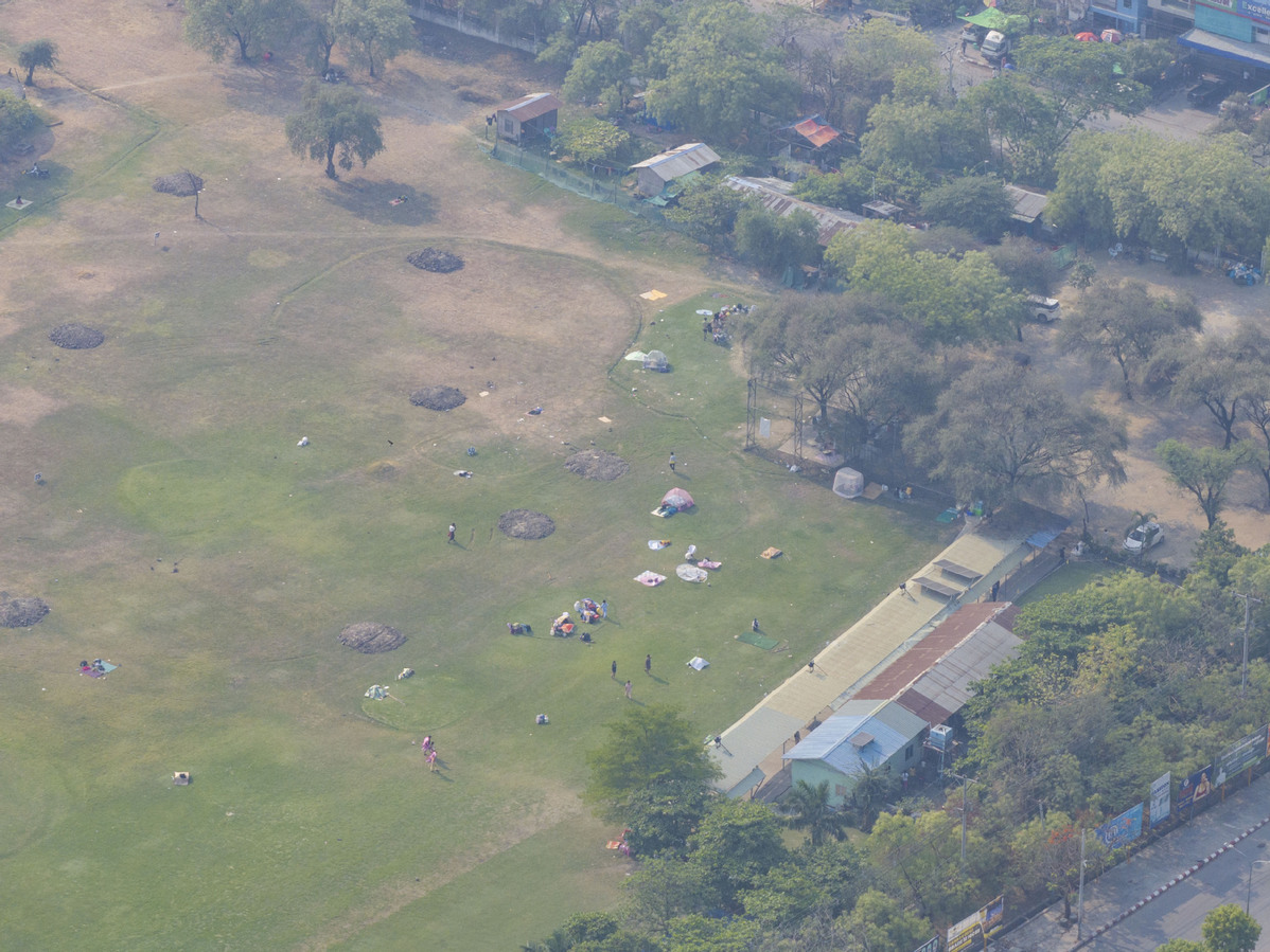
An aerial drone photo taken on March 31, 2025 shows the city view after a 7.9-magnitude earthquake in Mandalay, Myanmar. [Photo/Xinhua]
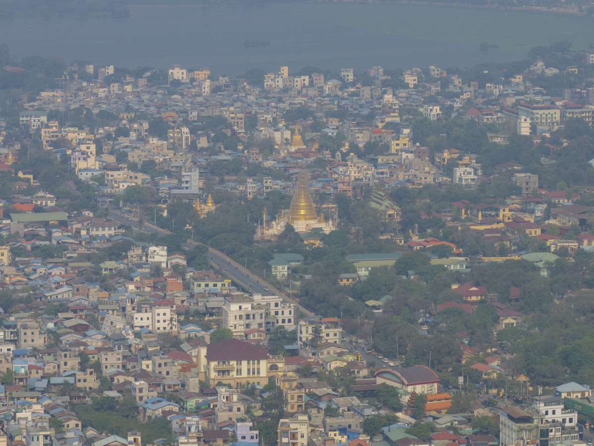
An aerial drone photo taken on March 31, 2025 shows the city view after a 7.9-magnitude earthquake in Mandalay, Myanmar. [Photo/Xinhua]
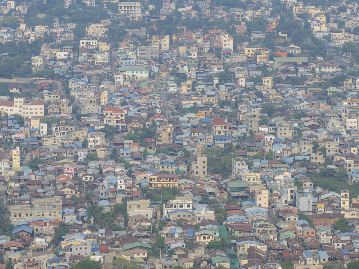
An aerial drone photo taken on March 31, 2025 shows the city view after a 7.9-magnitude earthquake in Mandalay, Myanmar. [Photo/Xinhua]
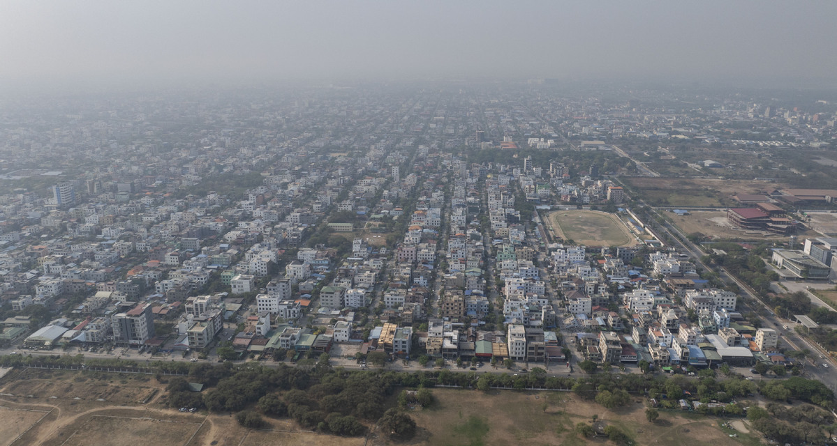
An aerial drone photo taken on March 31, 2025 shows the city view after a 7.9-magnitude earthquake in Mandalay, Myanmar. [Photo/Xinhua]