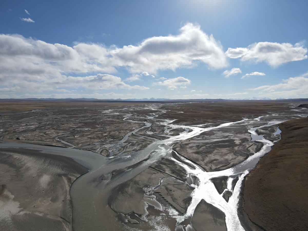
A view of the source area of the Yangtze River in Amdo county of the Xizang autonomous region. [Photo by Palden Nyima/chinadaily.com.cn]
The Xizang autonomous region will incorporate six regions enriched with unique natural landscapes and abundant biodiversity into its national park plan, Xizang Daily reported.
These six distinctive ecological areas encompass the Three-River-Source region (specifically the Tangbei area), the Changtang reserve, Mount Qomolangma, the Gangdise Mountains, the Gaoligong Mountains (Xizang section) and the Yarlung Zangbo Grand Canyon, as revealed at the third plenary session of the 12th People's Congress of the Xizang autonomous region.
The six regions cover a combined area of approximately 400,000 square kilometers, accounting for roughly 36 percent of the total area of national parks and candidates nationwide, thus making Xizang rank first in the country in the quantity and total area of national parks, according to Xizang Daily's report.
Since 2014, Xizang has been advancing the establishment of national parks, undertaking initiatives such as conducting scientific surveys and resource assessments for the proposed national park areas of Mount Qomolangma and the Changtang reserve.
According to the report, the Changtang National Nature Reserve has completed all eight tasks and 22 work items in its establishment phase. It has now entered the submission and approval stage for official designation as a national park. The remaining five regions are also in various stages of development.
The regional government has released regulations and policies to strengthen support for national park construction and provide basic guidelines for establishing national park demonstration areas in the region.
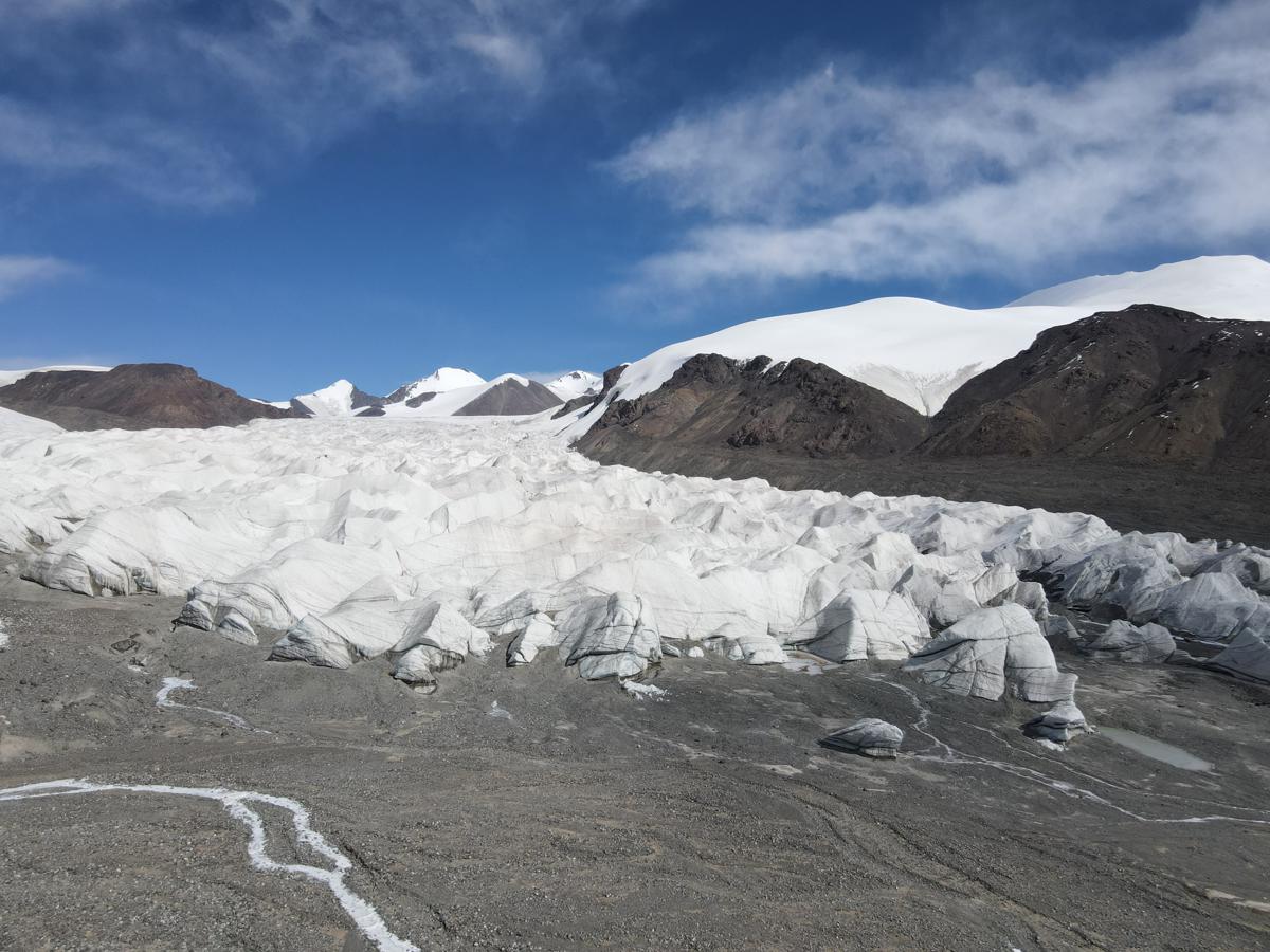
A view of the Yangtze River's primary source, the Jangchu Diruk Glacier, in the Amdo section of the Three-River-Source National Park. [Photo by Palden Nyima/chinadaily.com.cn]
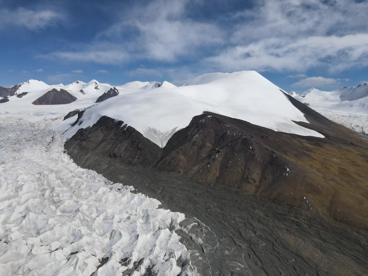
A view of the Yangtze River's primary source, the Jangchu Diruk Glacier, in the Amdo section of the Three-River-Source National Park. [Photo by Palden Nyima/chinadaily.com.cn]
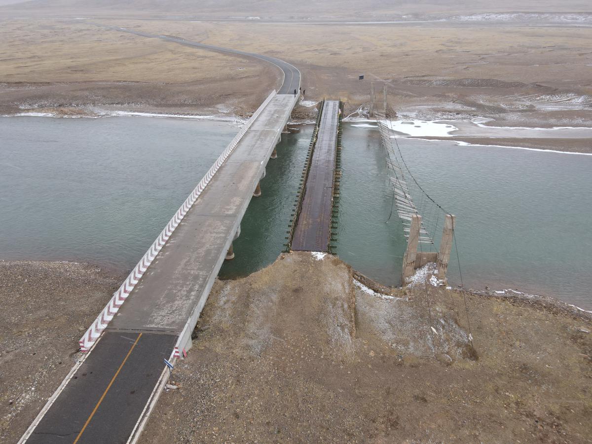
A view of the Damchu River in Amdo county, Xizang autonomous region. [Photo by Palden Nyima/chinadaily.com.cn]
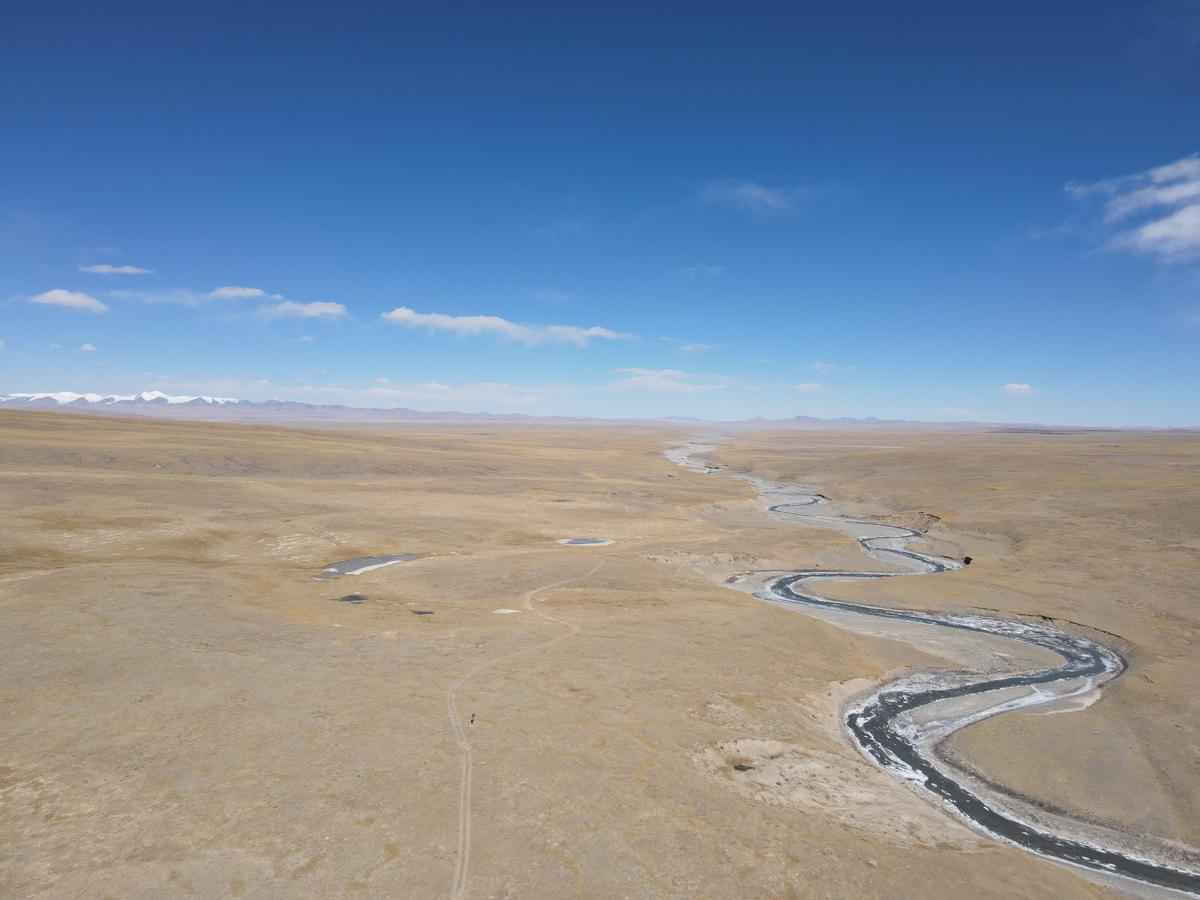
A view of the Changtang Grassland in Nagchu city, Xizang autonomous region. [Photo by Palden Nyima/chinadaily.com.cn]